Know where the gold is.
Every patch of ground scored 0 to 100 for gold — with a confidence read on each and a land-access check — before you leave the house.
3-day free trial · Nothing charged until it ends · Cancel anytime
Built on USGS, BLM & 3DEP · 46 data layers · a confidence value on every read
In blind tests, the gold showed up where we said it would.
We held back real gold occurrences the model had never seen, then let it rank the ground cold. Most of them landed in the patches it scored highest. No map can promise a find — this one earns the confidence it puts on the screen.
Six answers before you dig.
Scroll. The map changes with the question.
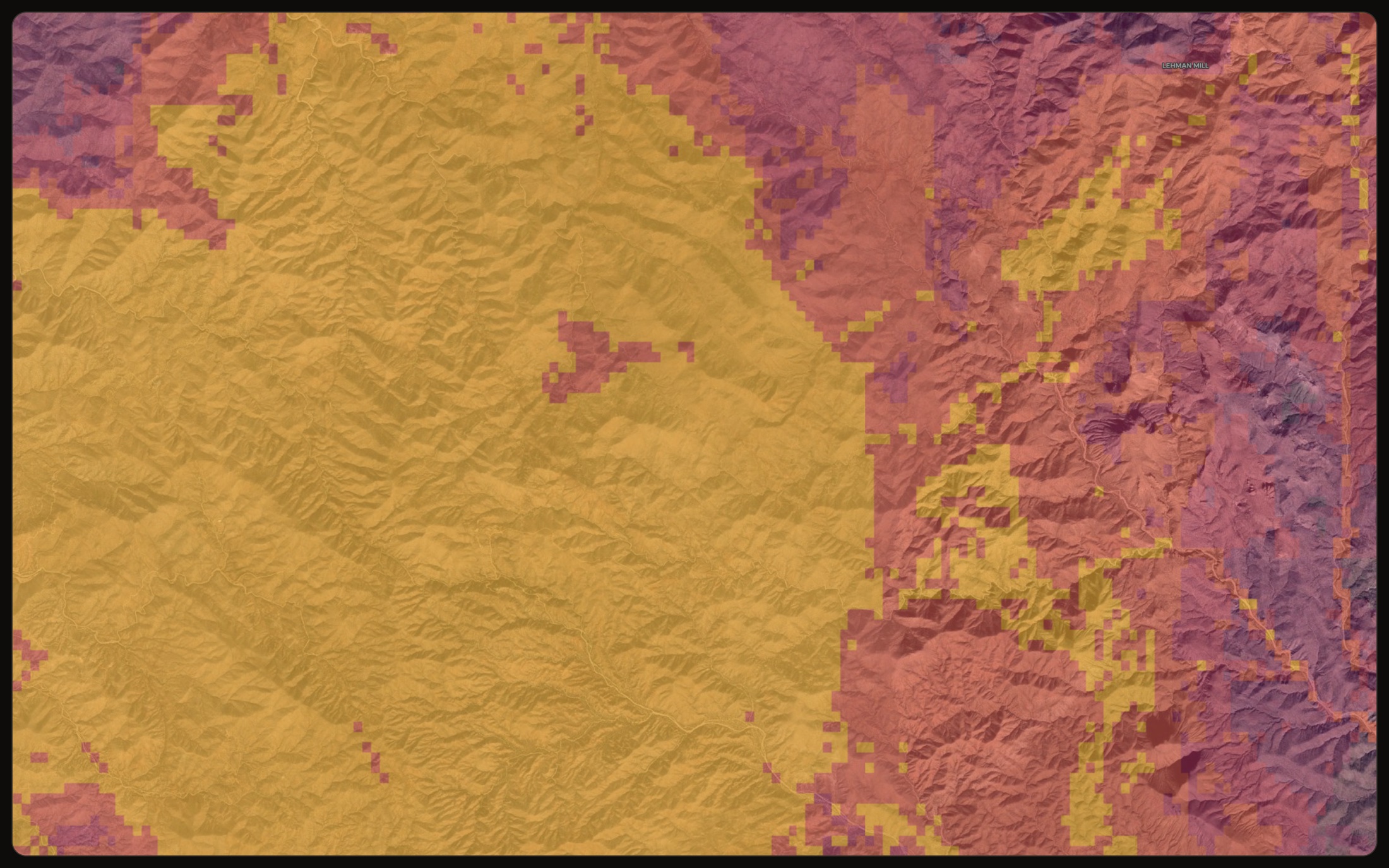
See where gold is likely.
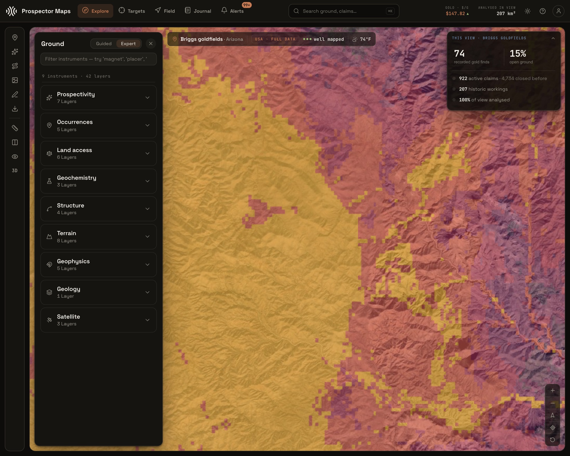
Ground scored 0 to 100 by how likely it is to hold gold, with a confidence read on each. Start with the best spots, not a vague heat blob.
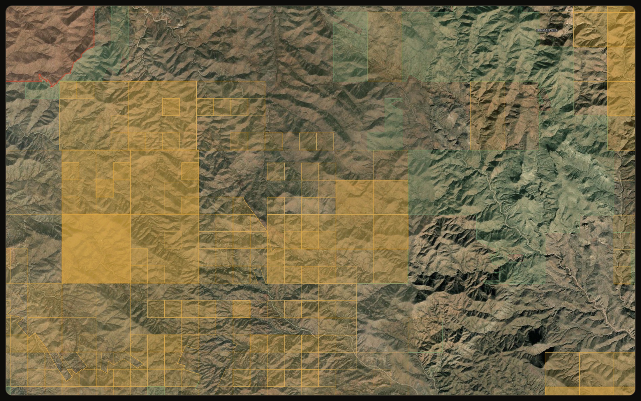
Prospectivity · lode + placerKnow whose ground it is.
Live and closed mining claims, restricted areas and open ground, each linked to its record. Find out before you drive out, not after.
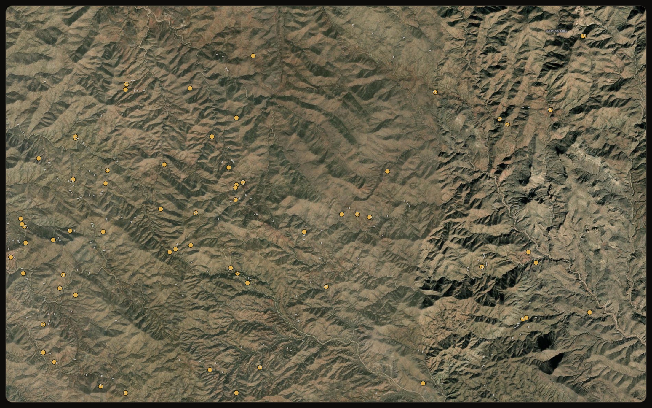
Claims · restricted · open groundStart where gold came out.
Every recorded gold occurrence and old working, tapped for the source record behind it. The strongest witness there is: ground that has already given up gold.
Occurrences · historic workingsRead the rocks that host gold.
State bedrock geology, its units and contacts, so you can read the host rocks and structures that control where gold sits.
Geology · SGMC · structureSee the diggings the trees hide.
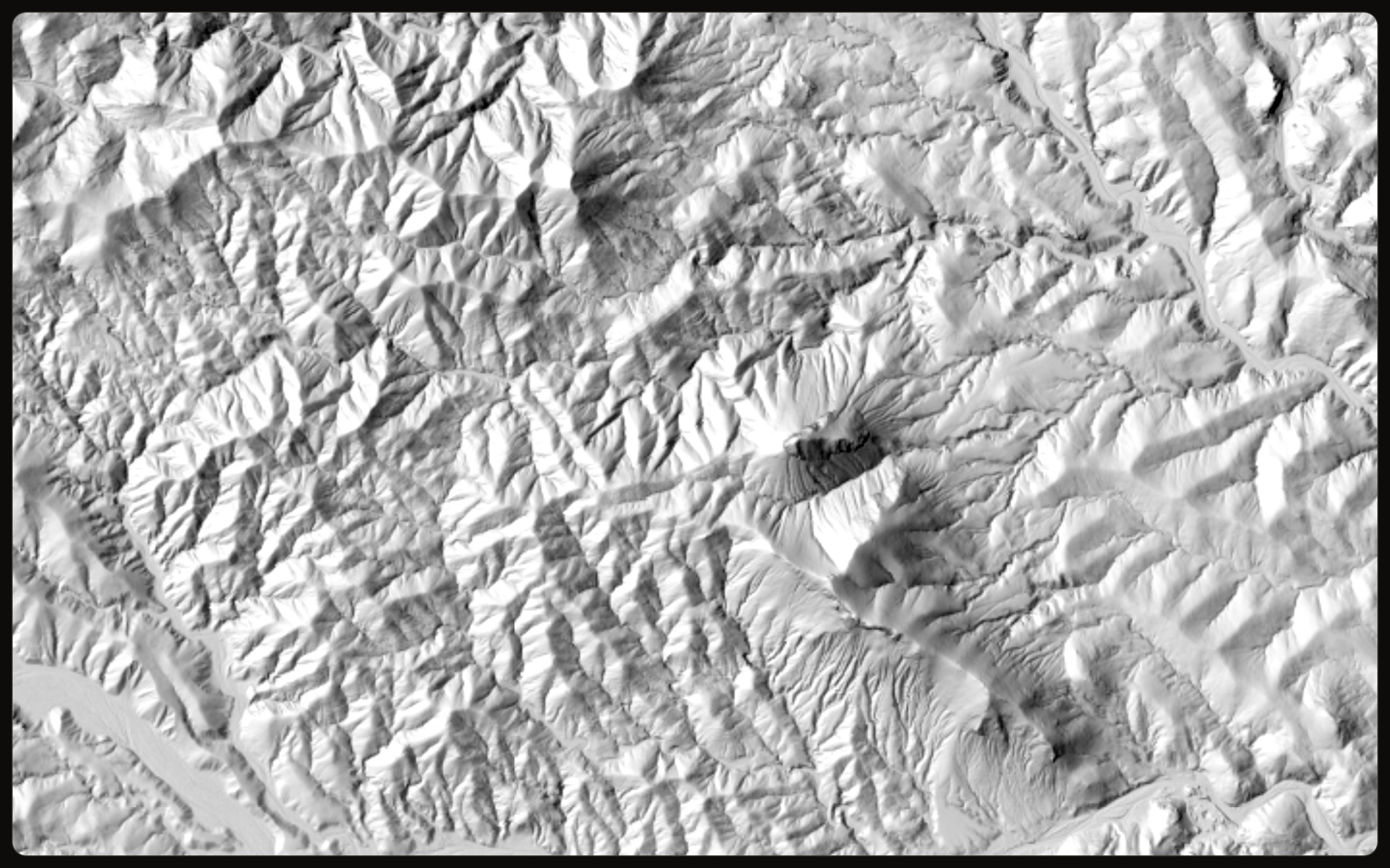
One-metre bare-earth LiDAR strips the canopy and shows the old workings, benches and channels the forest and timber hide.
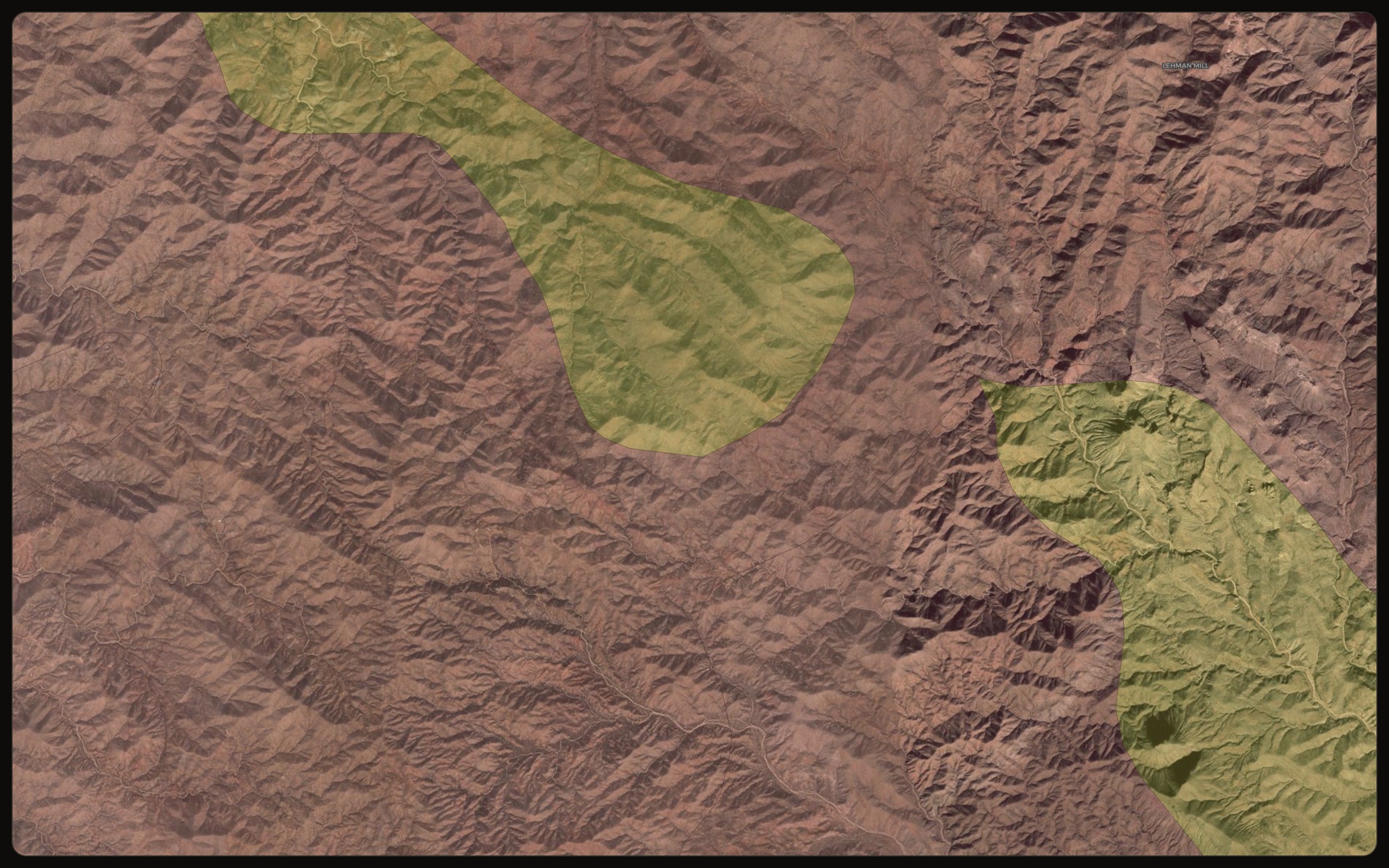
3DEP · 1 m bare-earthKnow which creek carries the gold.
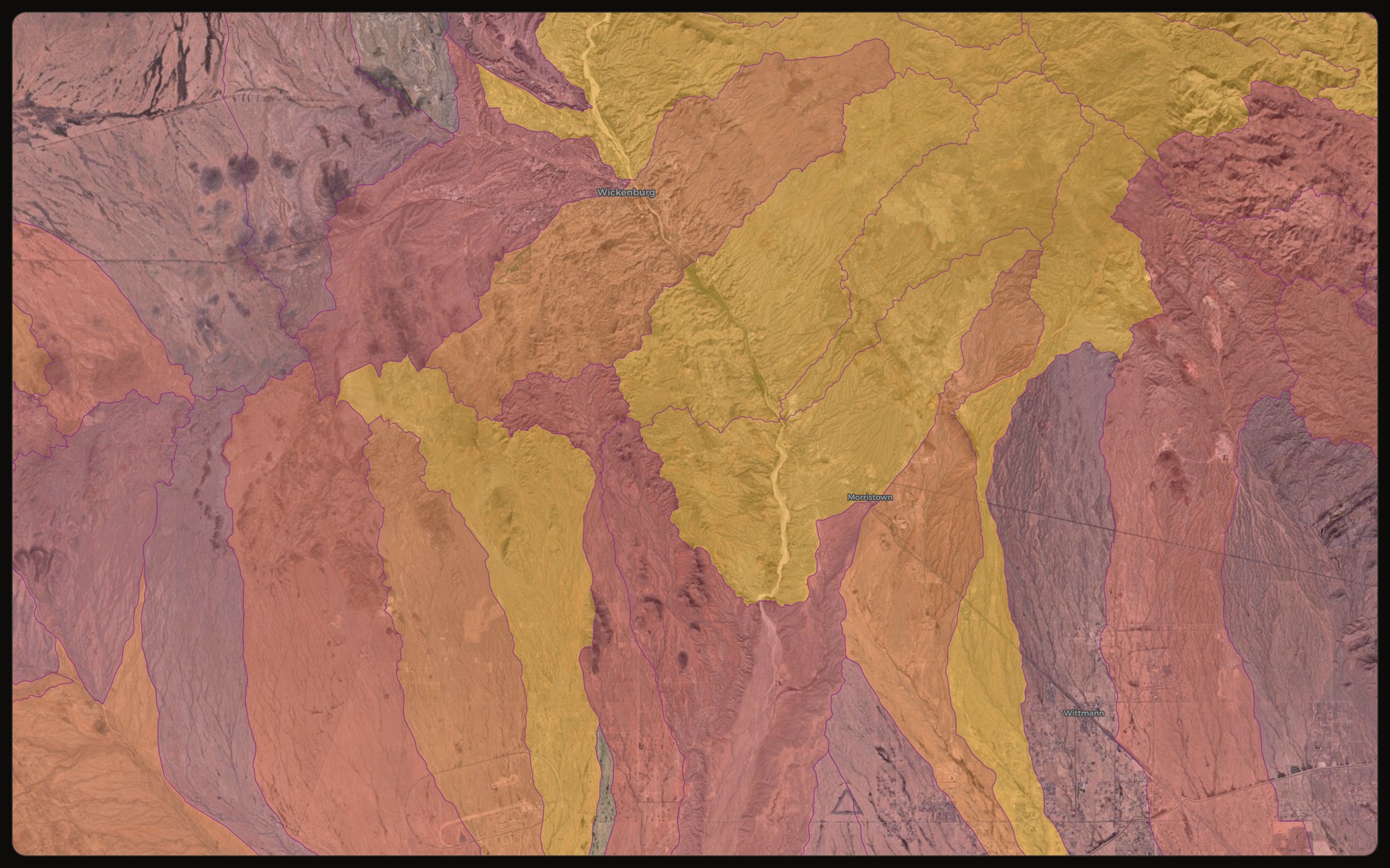
Every drainage basin scored and ranked, so you know which catchment carries the odds before you fill a single pan.
Drainage · placerPlan at home. Drive out ready. Dig the ground.
The whole loop, from the map to the dig. One account, and the field kit works with no signal.
 01 · Web
 Plan
Scout the ground on the map, rank it by gold odds, and check you can dig it. Save the area for offline and the trip is planned before you leave the house.
 02 · Offline
 Drive
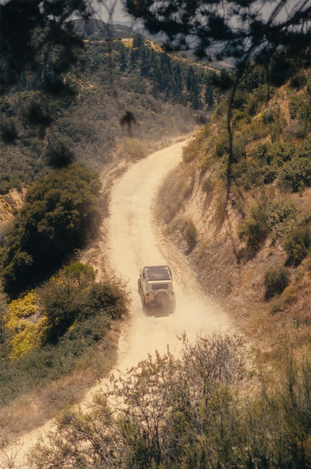
Everything you saved is already on your phone. Every layer, every claim, every read works with no signal, so there is nothing to load when you arrive.
 03 · In the field
 Dig
Mark targets, drop waypoints, and log your finds with photos and coordinates. When you are back in signal, it all syncs to the web.
The download is the easy part.
We fetch, clean and align dozens of national datasets, then score every patch of ground and tell you how much data stands behind that score. You are paying for the assembled, weighed, honest read — not the raw files. Those we name in full, and generate this list straight from the live map, so it can never drift.
Every source is public domain or used with attribution. Nothing scraped, nothing guessed.
Every source, named →One good trip pays for the year.
A single find — or one wasted drive you never made — covers it. Everything is included: every layer, the field kit, and full offline. No tiers, no add-ons, no upsells.
One instrument. One price.
Everything the map and the field kit can do.
- Rank any view or a drawn area
- Prospectivity with confidence
- Claims, restricted & open ground
- 1 m LiDAR & drainage ranking
- Waypoints, finds log & trails
- Drop your own maps & photos
- Live gold price & value calculator
- Works offline, installs to phone
Card upfront · nothing charged until it ends · cancel anytime
Straight answers.
Know where to dig
before you go.
Start free for three days. See your best ground, check you can dig it, and load it to your phone for the field. Guidance, never a guarantee — but the odds, in your favour.
3-day free trial · Nothing charged until it ends · Cancel anytime