Everything the map reads.
Six reads that answer the questions that matter, a field kit that works with no signal, and 46 data layers underneath — every one named, every score with a confidence value.
Everything below is included · one plan, no tiers
Six answers before you dig.
Each one shown on the live instrument, not a mock-up.
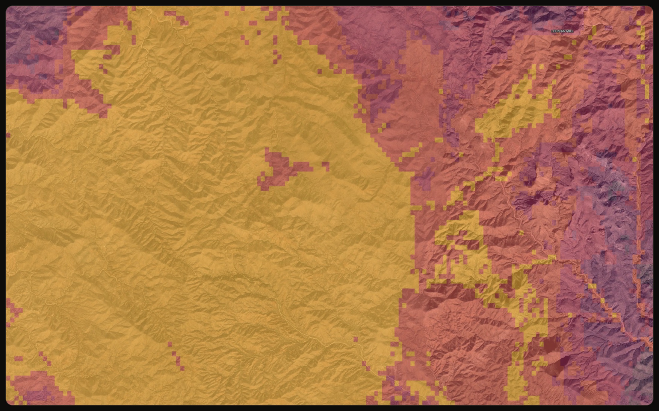
See where gold is likely.
Ground scored 0 to 100 by how likely it is to hold gold, with a confidence read on each. Rank the view you are looking at, or draw an area and rank that. Start with the best spots, not a vague heat blob.
Prospectivity · lode + placer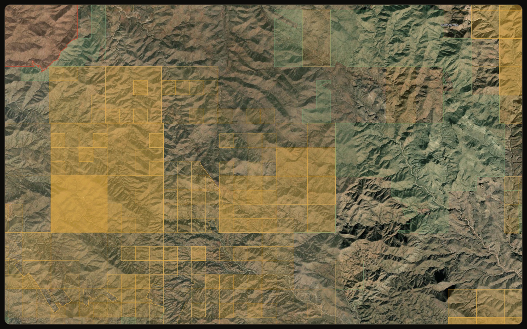
Know whose ground it is.
Live and closed mining claims, restricted areas and open ground, each linked to its record. Find out before you drive out, not after.
Claims · restricted · open ground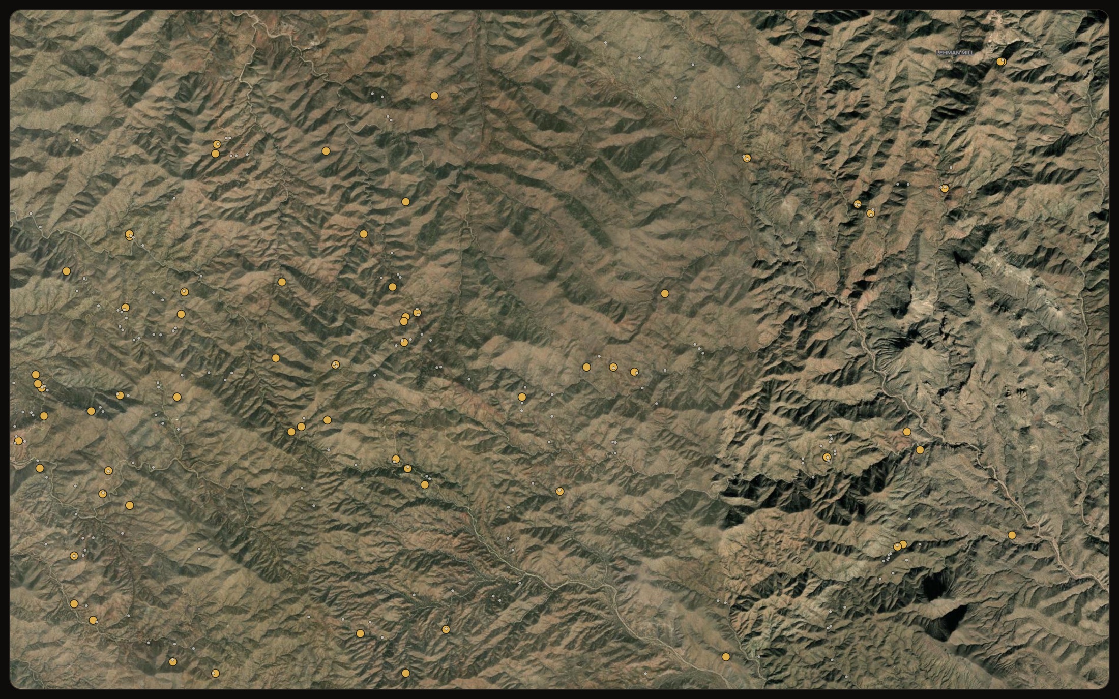
Start where gold came out.
Every recorded gold occurrence and old working, tapped for the source record behind it. The strongest witness there is: ground that has already given up gold.
Occurrences · historic workings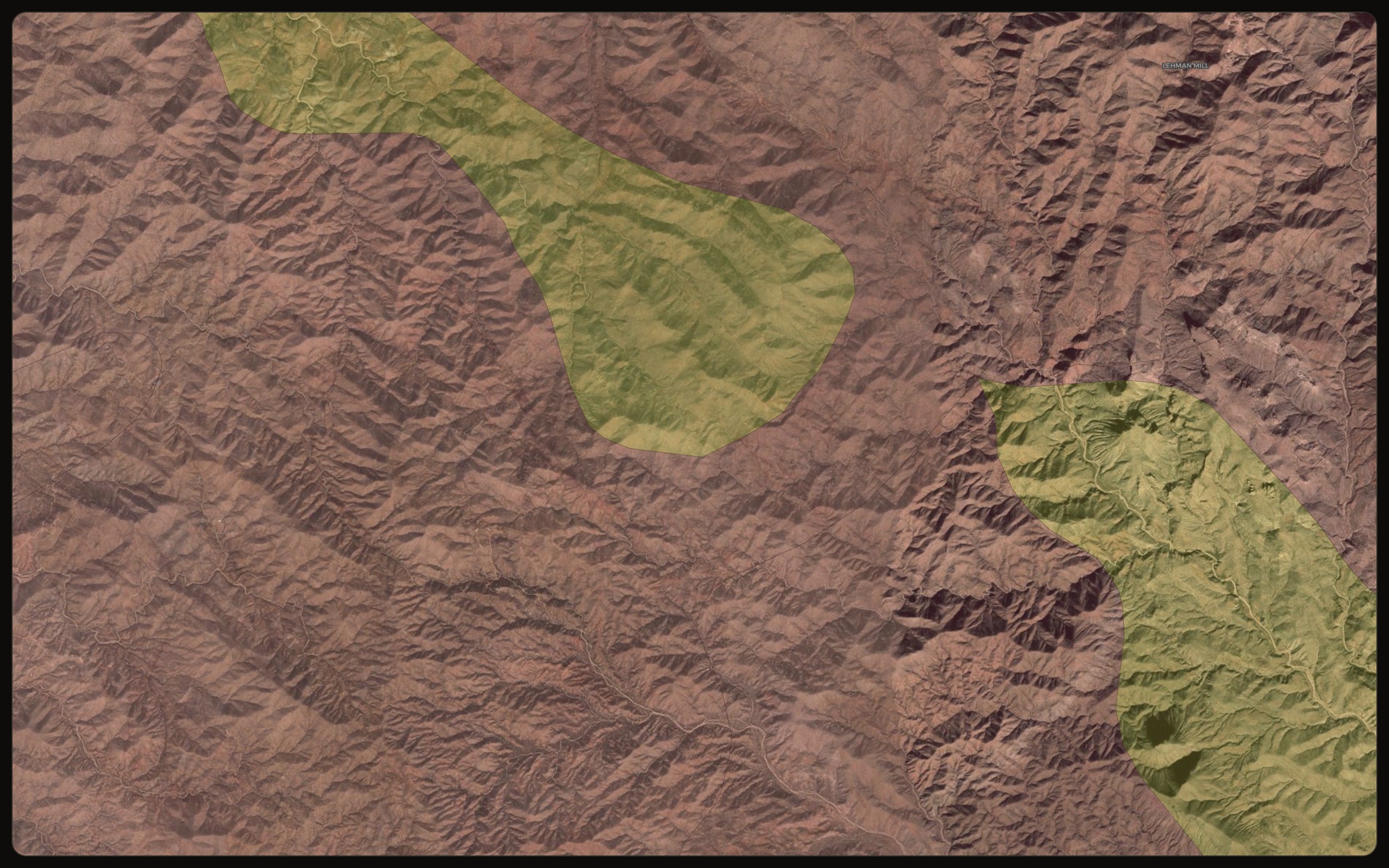
Read the rocks that host gold.
State bedrock geology, its units and contacts — with each unit explained in prospector words, not just formation codes — so you can read the host rocks and structures that control where gold sits.
Geology · SGMC · structure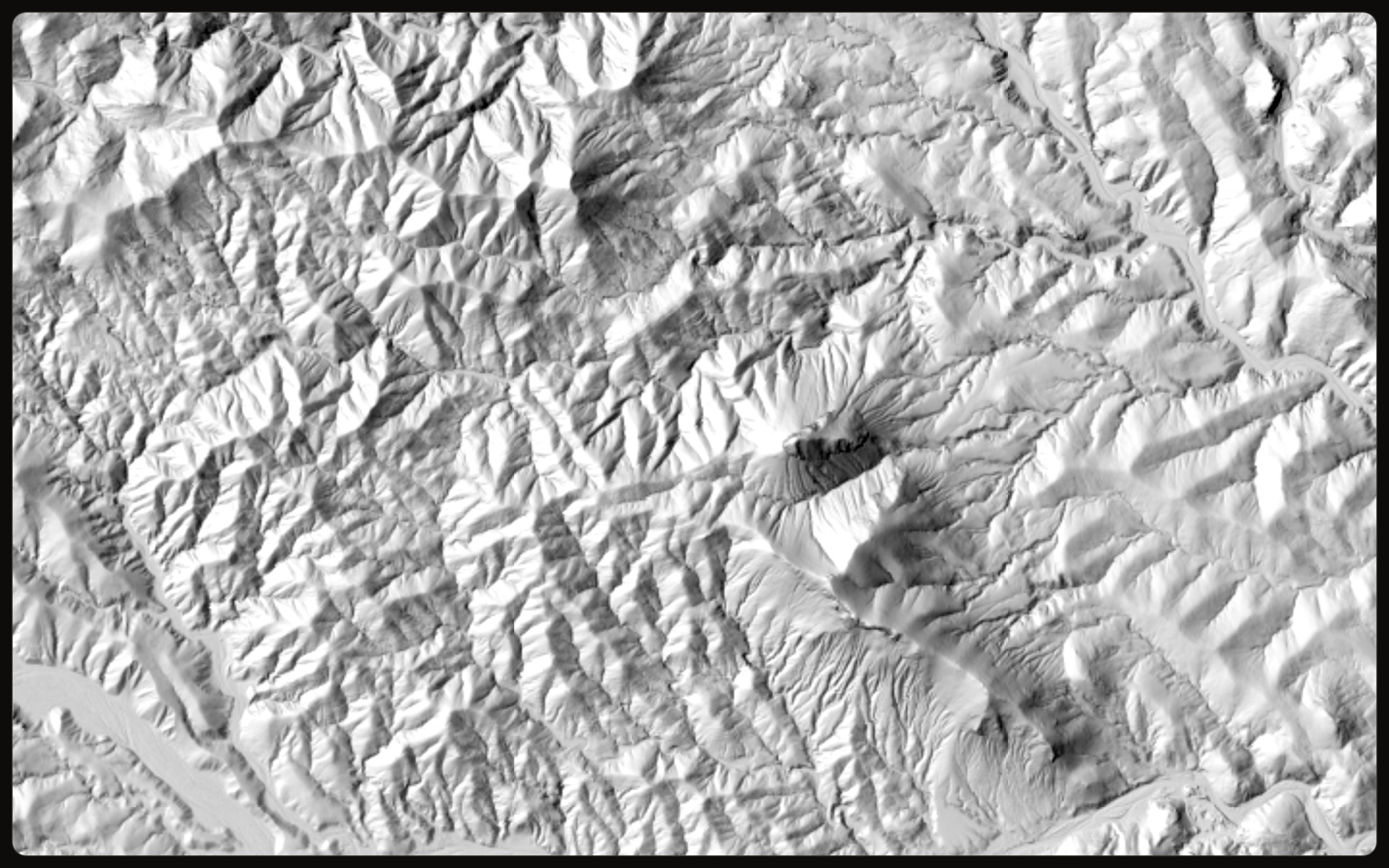
See the diggings the trees hide.
One-metre bare-earth LiDAR strips the canopy and shows the old workings, benches and channels the forest and timber hide.
3DEP · 1 m bare-earth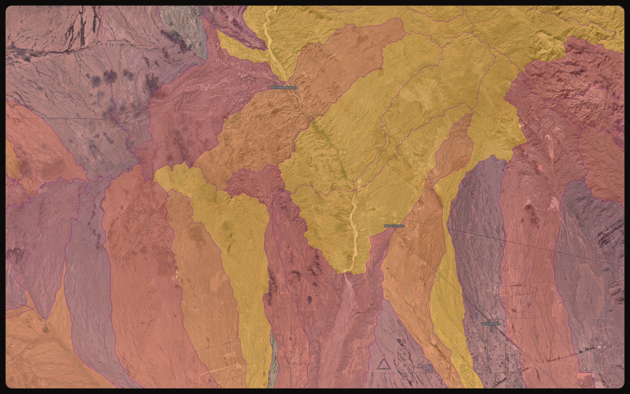
Know which creek carries the gold.
Every drainage basin scored and ranked, so you know which catchment carries the odds before you fill a single pan.
Drainage · placerBuilt for the day out, not just the desk.
Everything around the map — and all of it keeps working when the signal doesn’t.
Works fully offline
Save the ground before you go and every layer, score and claim keeps working with no bars. It installs to your phone like an app, so the instrument goes where you go.
Waypoints, finds log & trails
Mark targets, drop waypoints, and log finds with photos and coordinates. A find with a weight shows what it is worth at today’s spot price. Back in signal, it all syncs.
Your own maps & photos
Drop your own maps, sketches and photos onto the ground, so the old-timer’s hand-drawn map and the modern read sit on the same screen.
Claims kept current
Active mining claims are refreshed from BLM’s register every day, so the map and every land verdict reflect the latest recorded claims — and ground that has opened up shows as open.
Live gold market
Spot price with history from 30 days to all-time, in your currency, by ounce, gram, pennyweight or grain — and what your logged finds are worth at today’s price.
Weather on every target
A forecast, sunrise and sunset on each target card — and a flood warning, front and centre, when the washes are dangerous.
Land law, in plain English
Every land verdict opens a plain-words card: what the five verdicts mean in practice, split estate, and what staking a claim actually costs.
Historic topo underlay
The oldest USGS topographic sheet for the ground, mosaicked beneath the modern map — shafts, adits and camps the newer sheets dropped.
A map that explains itself
Tap any term — pathfinder, gossan, bench — for a plain definition in place. Old workings carry a history line. No score ever appears without its confidence.
46 layers, grouped by what they tell you.
This inventory is generated from the live layer manifest — the same one the map serves — so it can never drift from what the instrument actually reads.
See it on your ground.
Three days free. Find your best ground, check you can dig it, and load it to your phone for the field.
3-day free trial · Nothing charged until it ends · Cancel anytime